Click here for the first part.
The snow was icy on this side of Lennox, but the angles gentle, and we skinned right to the top.
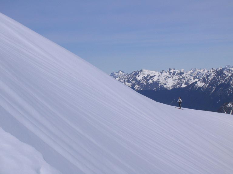
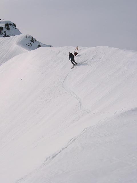
Me contemplating the final slope.
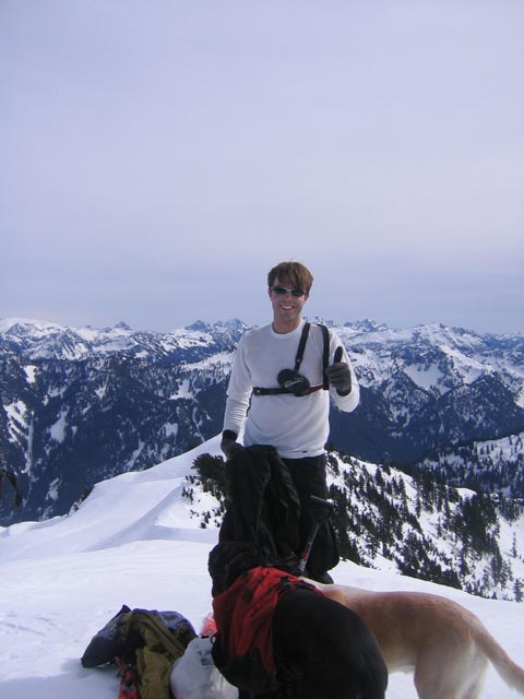
On top of the enigmatic Lennox Mountain!
Me on the summit.
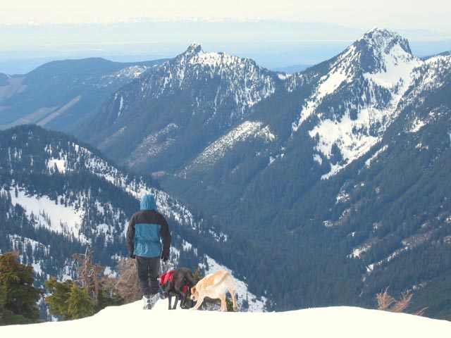
The views from the summit are really all-encompassing, the closest higher mountain being about
6 miles away. Olympics, Baker, Glacier Pk, Sloan, Chimney Mountain, Monte Cristo, yadda yadda yadda.
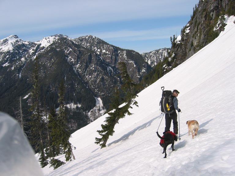
Ed and the dogs look towards the low lands.
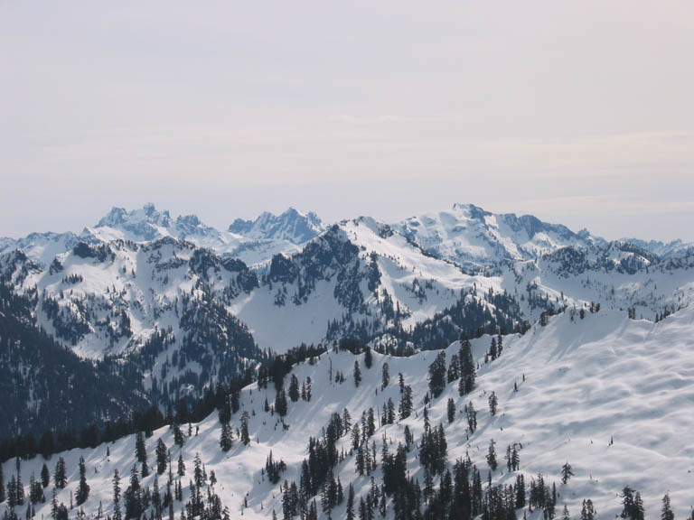
In the background left-to-right: Chimney Rock, Lemah Mtn, and Big Snow a litte
closer in. Cascade Mtn in
the midground.
We found a spot out of the wind, and fueled up on food.
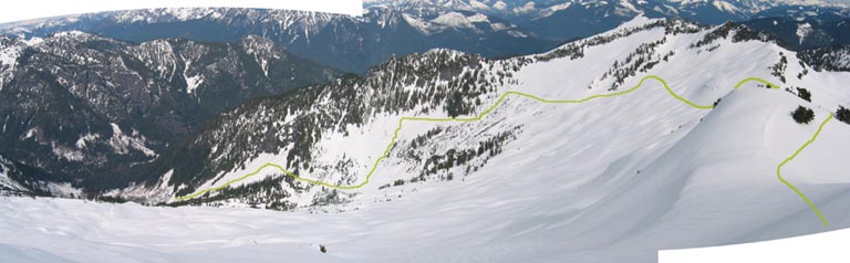
From here we had a 4000ft
descent in open terrain to the valley bottom 2 miles away - oh but for the ice! The basin faces north, and was getting
hardly any sun. So the plan was to make a mile-long descending traverse to the east side of the basin,
in the hopes of some west-facing corn.
Ed on the east ridge of Lennox.
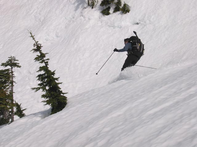
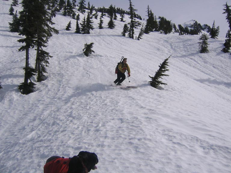
Skiing down the east ridge was actually pretty fun - the snow on the south side was great. We'd
traverse along the ridge, get 3 or 4 turns on the south side, then repeat.
Phil above Coney Lake.

Our route down to the valley.
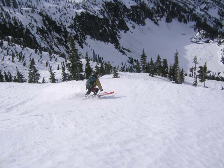
It was a long traverse, but we finally made it to softer snow. Some very nice turns
were had.
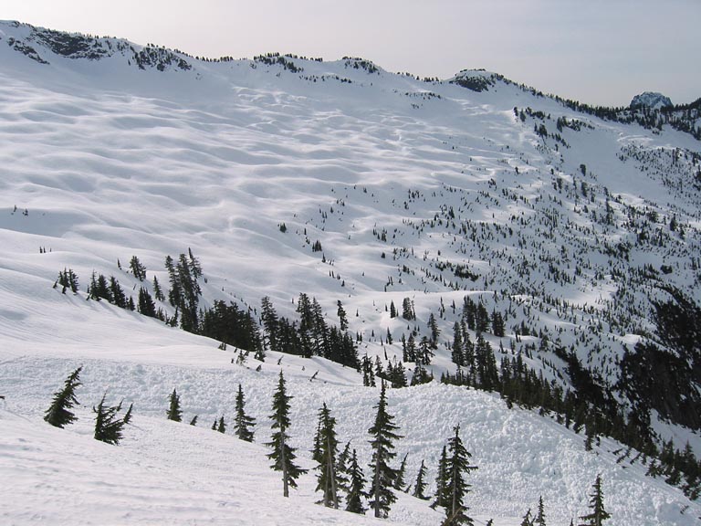
A pile of avy debris from earlier in the week
guides the viewer's interest, while a back drop of the terrain above Goat Basin completes
the picture.
Ed doing some turning.
Now it's Phil's turn. Turn, get it??
Down towards Goat Basin. Yes, ice season is over here.
The aforementioned pile of avy debris continues down on the left there.
More turns on the big slope above Goat Basin.

Connecting the slopes on the way down to Money Creek. I
believe this is the last big slope before it flattens out. Unfortunately, the
snow was pretty sloppy here, and marred by avy debris.
On the way down from Crystal Lakes, Ed was way out in front. I wondered which path he took...
I thought the gentler north-facing glades were better skiing than the sloppy slide
paths. Then I saw Maya in the trees and thought "sweet", and started skiing down there.
It was very nice. I finally caught up with Maya, but Ed and Zak were nowhere to be seen.
Turns out Maya was just plain lost, and had no idea where Ed was. Apparently her nose
isn't very good. I also didn't know where Ed was. My nose is pretty good though (but
probably not on the same order of magnitude as a dog), but
I just wasn't paying attention.
I spotted Ed out on the avy slope, and traversed out to there, as the glades got cliffy
from here down. Ed made it through this section as fast as possible, and the dogs
had a hard time keeping up. When we finally all met up near the bottom of the slope,
Maya and Zak were totally exhausted. We stopped for a break, and Maya immediately started
digging out a spot to go to sleep.
Taking a rest in an alder grove. The dogs are dog tired.
From here, it was easy going down through alder slopes (still a decent amount of
snow left in the basin, allowing brush-free travel, but the stream crossings are not bridged), and finally
through the birch forest to the requisite crossing of Money Creek:
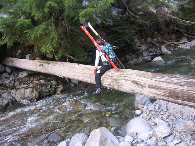
I take the wussy way across.
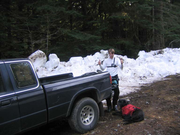
Another mile of gliding down the road brought us to my truck, which miraculously was
still intact. Of course we now had three and a half hours of car shuttling left!
Mission complete.
-
Miles covered: 12.
- Elevation gain: 5000ft up, 5300ft down.
- Time: 8 hours car-to-car.
- Driving time including shuttling: 7.5 hours.