Bare/Lennox Traverse - March 13, 2004
Skiing off the summit of Lennox photo Ed Praitis
Last year during the pitiful mid-season snowpack, we were able to drive to the trailhead and "ski" Bare Mountain (video here) - there was barely any snow on the mountain.
This year also has a pitiful low-elevation snowpack, so we figured the roads might be drivable pretty far, and yet there was still decent snowpack above 3000ft, so the skiing could be good. This requires a bit of "commitment to the conditions", because of the time-consuming car shuttles necessary for a traverse between I-90 and highway 2. Ed was wiped out from a rough week at work, and was ready to bag it, but I convinced him with an enthusiastic "let's go for it!".
Friday night was spent shuttling my truck to Money Creek Road, which was supposedly partially closed due to a washout. We started encountering snow at around 1300ft or so, much lower than I expected. Luckily it was plowed (by who?) all the way to the road closure (1600ft) where there was about 2 feet of snow. This didn't bode well for the North Fork road, which has about eight and a half miles of road above 1300ft on mostly north-facing slopes. However it is in the Cascade foothills, where the warmer temps keep the snow level much higher (or some kind of weather phenomenon does anyway). I called the ranger station, but they didn't have any idea of the road conditions, and asked me to report back if I went up there.
I spent Friday night at Ed's house, but our early Saturday morning start was lengthened when, at the edge of Ed's driveway, I realized that I had forgotten my ski boots at home. So we had to make a "little" detour to Seattle before heading back towards North Bend and up the North Fork road.
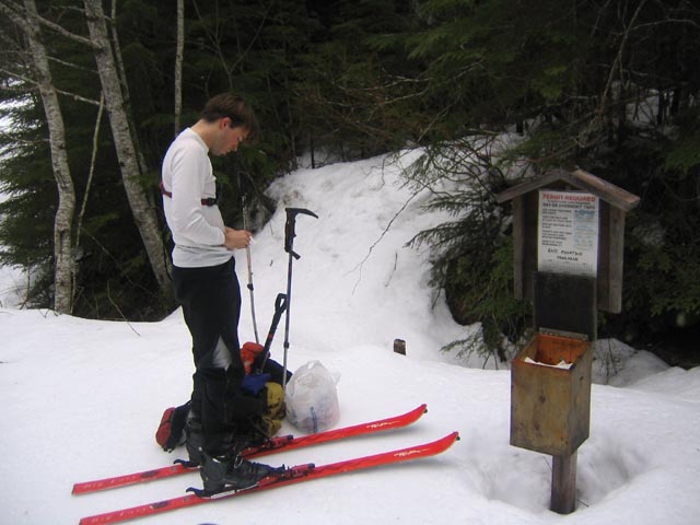
The snow was almost nowhere in sight, and we made it to the junction of Road 57 no problem, and made it up about 1 mile of that road where we abruptly hit two feet of snow (elevation 1800ft). We started skiing here on continuous snow (very convenient) from where we parked, reaching the Bare Mountain trailhead in about 2.5 miles (where we of course got our Alpine Lakes Wilderness permits).
So much red tape!
Crossing Bear Creek

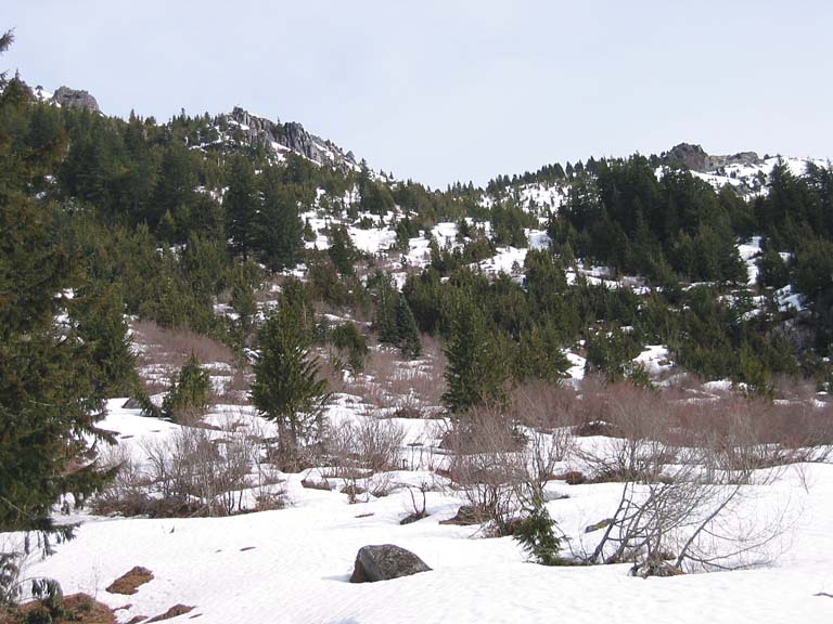
Unusual-looking terrain in Bear Basin
Ed found a better way and soon we were skiing up gentler terrain towards Bear Lakes.
Bear Lakes. We came up from the valley off to the right.

Above Bear Lakes, on the way to Pt. 5449.

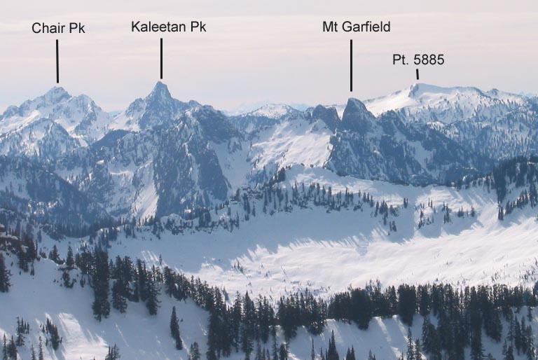
Looking off towards the Middle and South forks and more well-known peaks.
Ed was the first to go, and the snow sure sounded icy! Zak stayed on the ridge top, and Maya made a few steps onto the face, but quickly returned to the ridge when she found it way icy! As Ed continued on the traverse, the dogs ran along the ridge, which only grew more corniced and difficult to escape as they ran towards Ed. They were making progress on the wrong axis, and there was no way there were getting down that way!
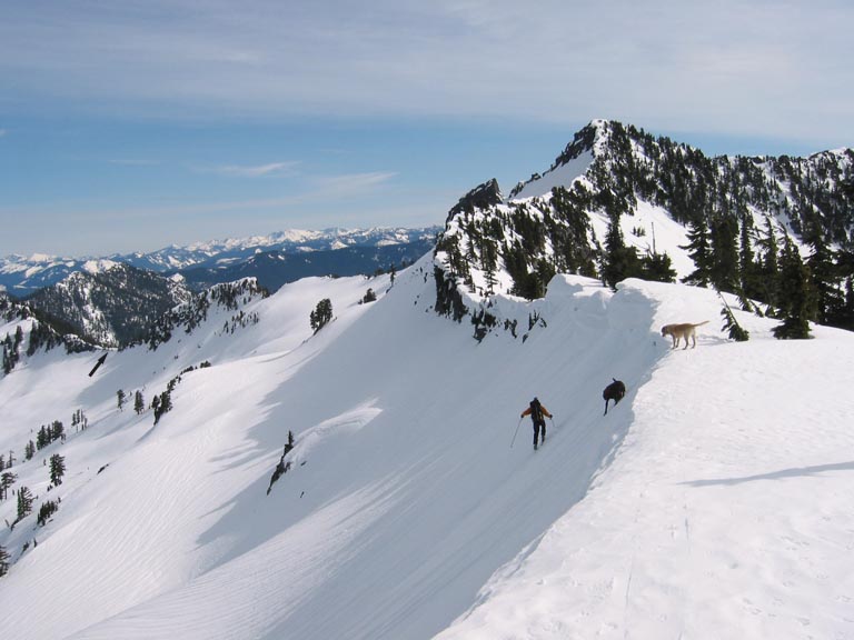
Ed begins the traverse towards Lennox Mountain. Maya (black dog) decides enough is enough! and heads backup. We are aiming for the black arrow on the left.
Further along the traverse.

Finally we arrived below Ed's col, and booted up a short steep section to the ridge. The ridge was fairly corniced, but the snow was firm and good walking, so we kept the skis in the pack to maximize maneuverability on the narrow ridge.
Hiking along the ridge, with Pt. 5706 behind.

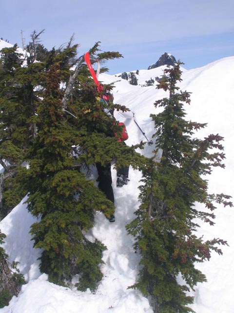
Me doing a cruxy ridge maneuver (trees entangling skis).
Traversing along the southeast slope of Lennox.
