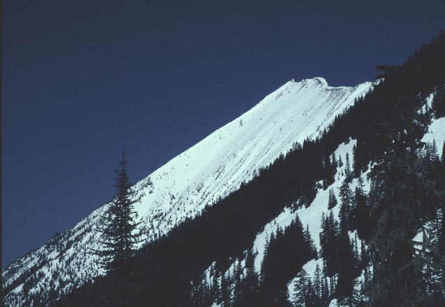
Mt. Defiance Ridge, April 14th, 1999.
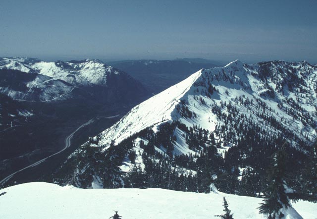
It was late April... I had been eyeing the face running down towards I-90 from the ridge west of Mt. Defiance. I had staked this place out a few weeks earlier... it's one of the largest "faces" along the I-90 corridor towards Snoqualmie Pass, and it has what's got to be some of the easiest access. A 5 minute walk from the Mason Lake trailhead brings you to the bottom of an avalanche gully that extends up onto the main face of the ridge, providing a potentially skiable vertical of nearly 3000ft. The top 1200ft of the face measured out at about 39degrees on the topo map. Pretty darn steep.
A view of the face from the Mason Lake trail:

Another view from the top of Mt. Defiance... it is the large face on the left. The road is I-90, 4000ft below. Puget sound in the background.
Weather conditions finally seemed to cooperate on Wednesday April 14th, and I was able to round up one ski buddy, Matt, to accompany me on this before work/school adventure. We left Seattle before dawn, and reached the trailhead about an hour later, just after sunrise. Despite the fact that the forest at the starting elevation was devoid of snow, avalanches filled the gully up very well, so it was snow all the way.

The hard early morning snow made for quick travel up the face:
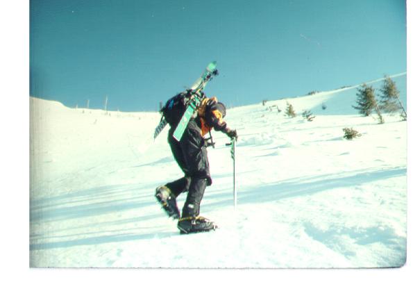
Nearing the summit ridge:

The plan was to relax on top until the sun softened the snow enough such that it was safe to ski. Unfortunately, the wind was blowing strong. On the climb up, it felt like mid-winter, as sheets of fine snow dust (it had snowed a half inch or so the day before) blew across the icy face. The strong wind meant the snow would be slow to soften.
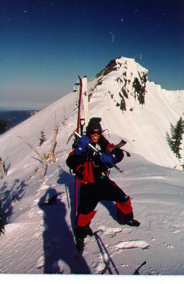
After standing in the cold for about 15 minutes, we decided to head down. We didn't think it would be that terrible, except for the top 100ft or so, which seemed exceptionally icy on the way up.
Matt getting ready to make his first turn:

Well, it turned out that what feels like skiable snow when you're climbing up with crampons, it quite a different story when descending on skis. We each fell and slid quite aways on our first turns, giving us a good scare. After that, I basically just traversed across the face to the next lone tree, and used that to turn myself around. I did actually find a little spot where some powder had stuck to the ice, and was able to crank a few turns on that.
The black dot on the other side of the face is Matt:
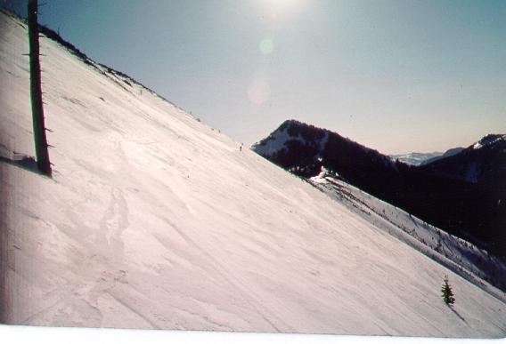
Halfway down the face, we dropped on the other side of a ridge to try to get out of the wind, and to let the snow soften some more. Half an hour later, the snow was still rock hard, and we had to get back to the city, so we continued our icy decent anyway. We encounterd a bit of corn snow below, out of the wind, but quickly came to the debris-filled gully which lead the remaining 1500 or so feet back to the trailhead. It was way to chunky to ski unfortunately, so we hiked down (it was a quick hike though!). Not a great success, but it has potential, and it was nice to get out and play before work....