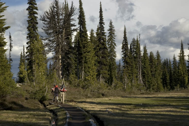
Mt. Daniel ski - June 18, 2005

Josh was fishing for takers for all sorts of ski outings on Friday - eventually the Hummels decided they were going to go to Mt Daniel on an overnighter with their dad and his buddy. I said I'd join them for a day if I could find a partner, and Sam quickly filled that role. Then Sam's wife decided to come too, and later that evening, Jason R. was in too. And then, given the iffy weather forecast, the Hummels shortened their trip to a day.
The road to the trailhead has deteriorated really badly since I was last on it a few years ago. Ouch. Sam's deft driving kept us out of trouble, avoiding Bambis and trees while maintaining the top possible speed. However I needed to do a "number 2" when I got out.
The Hummel sons were at the trailhead, ready to go, so we tried to hurry. As I pulled my boots out of the truck, a little "UH OH" materialized in a cartoon cloud above my head. My Dynafit TLT4's and lace-up MLT's look alike (both bright yellow). I had brought one of each. The "UH OH" got a little bigger - what if they were from the same foot? The "UH OH" turned into a "SHIT"!

Taking stock of the situation, I realized with some relief that I had the TLT4 liners, so one left and one right. I tried the left MLT on my right foot. Kind of painful, but it might work, as long as I didn't spend too much time in them. Luckily I had running shoes for the dry approach, or else my day would have been spent in the mosquito cloud at the trailhead.
Further complicating things, was that my bindings were set for my TLT4's, not the MLT's. Luckily, I had brought my lightweight skis, the ones which are mounted with the adjustable Comfort bindings (my other skis have fixed-size bindings). We found some tools, and the Hummels tried for a long time to adjust my bindings - it wasn't easy, but eventually it was widened just barely enough to accept the MLT. Gear, blah blah blah, gear, blah, gear, blah...
Ok, off we go! Up 2000ft, along the meadowy ridge, it began to drizzle a little. The peak was still socked in. No worries, we're just out for a relaxing day. I'll be happy with any skiing, I don't need a summit. With such a large crew, our progress is slow, but that's a good thing today.
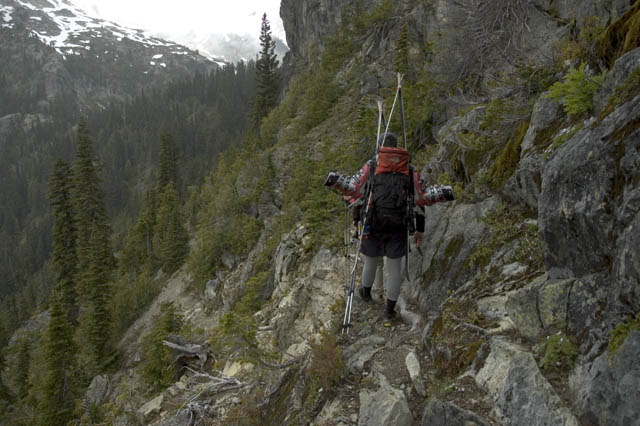
Closer to Peggy's Pond, the Hummels lead the way, relying on memories of past trips here. We end up well away from the pond, on some steep heather sidewall, and Lori learns the importance of the old adage "Never follow a Hummel". Josh makes a technical correction: "Never follow Jason".
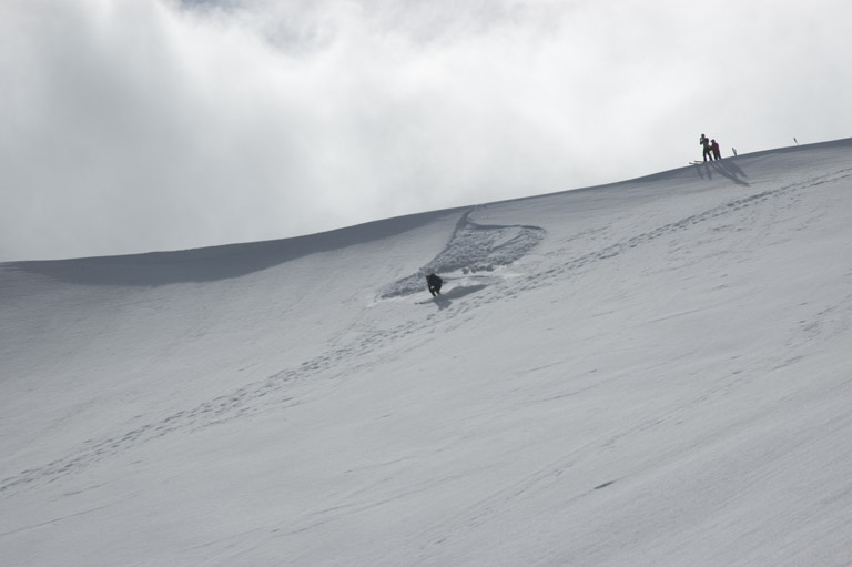
Soon we're in the Hyas Creek drainage, and meet up with the Hummel's dad and his friend Steve. Here we skin up in the mizzle. My right foot hurts ouch. I lace it loosely, and its not too bad if I "skin correctly". Soon the skies are clearer, and we are making our way up the north side of the basin, some booting, some skinning, some scrambling up rocks. Up higher, we split into three groups (each with a Hummel, so Lori realizes she must violate "Never follow a Hummel"). Kurt and Steve head to the east peak (a better ski descent than the main peak), while Sam, Josh and Jason R. make their way to a spire. Jason and Lori head to what (to me) looks like a more sure bet on the map. But on the other side (a north aspect), the snow is very slidey. The top 6 or 8 inches come off with the lightest touch, and grab your skis. Jason makes a traversing descent to a notch. In progress, he releases a whole bunch of snow, which turns into a giant sluff that runs a thousand vertical feet, clearing off tons of new snow, and revealing the watermelon snow underneath.

Lori decides this is sort of stupid, and heads back to join up with Sam. I don't want Jason to proceed alone, so I gingerly make my way down to him.
Over the next ridge, we watch Josh and Jason R. come onto the slope above us, sending down sluffs across our path. We have to wait until they are in front of us. Jason gets bored while waiting, and starts singing songs about me and ADD'ing to a new level.

Eventually we reach the others' skin track, and we're all ambling along the easy terrain on Daniel's ridgeline. At the summit, we meet a bunch of Mountaineers who just came up the Lynch Glacier. That was our original ski destination, but it is in a white-out, and the snow is very sloppy. The fog is pushing up against the west side of Mt Daniel, while it is mostly clear to the east. The ridge to the east of the Lynch is the dividing line.
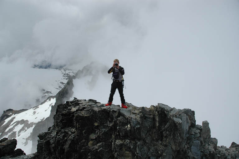
After some summit photos, we make our way over the subpeaks to the east basin. This consists of short steep (or not so steep) slopes, with everyone taking their own line. I hit some steeps with some warm rocks, and set off a suprisingly big sluff (of which I am proud, like I imagine a new father must be), which luckily doesn't hit the Hummels and Sam.
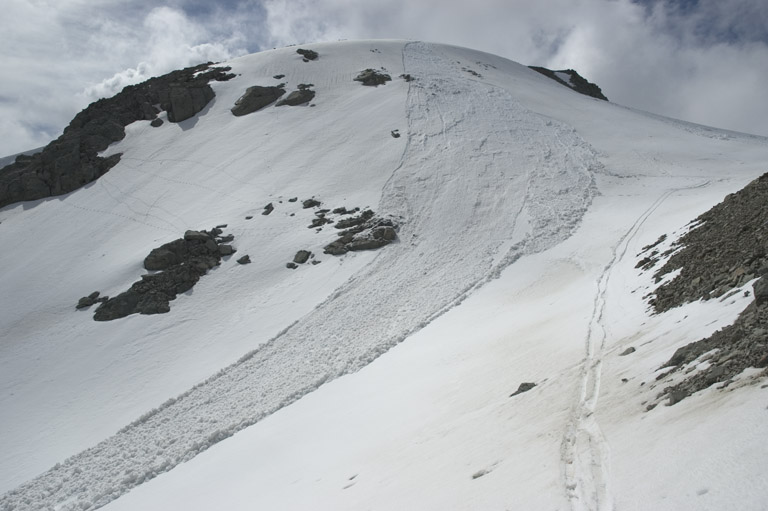

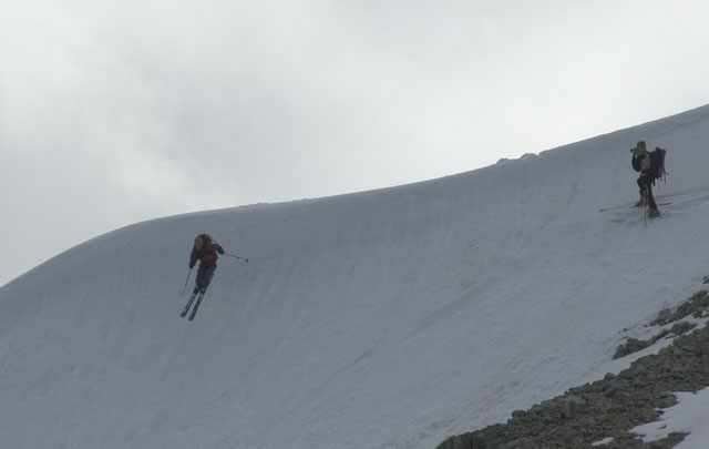
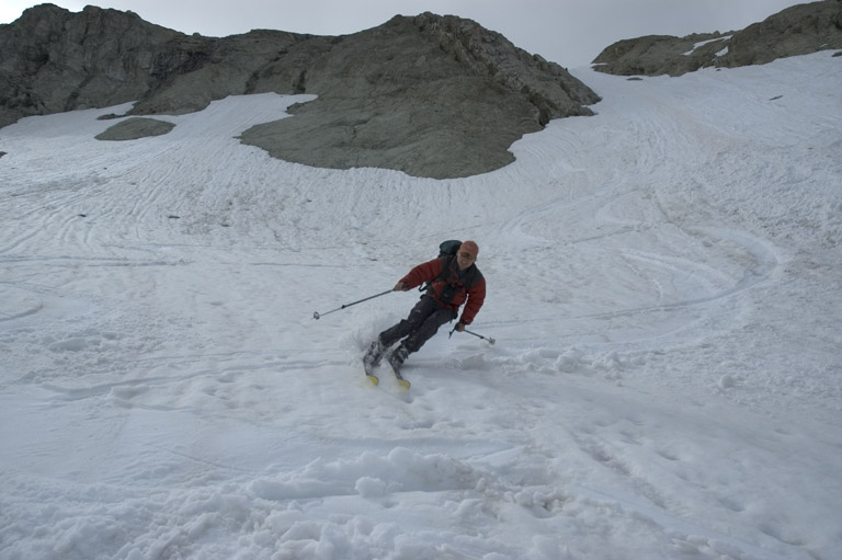
At the top of the east basin, we hang out and wait for everyone to catch up. Sweet sloppy turns take us down to a 35 degree couloir that cuts through the headwall. Finally we meet up with Kurt and Steve who are waiting in the basin. Mellow slopes, and a final melting-out gully take us to Kurt and Steve's camp near Peggy's Pond. I'm first through the gully, and as I look back, I see everyone charging through it at once - quite a scene!

We got a 2500ft run off Mt Daniel, in mid-June, on the worst snow year in recent history. How about that! We have a long break in the sun, and then the 6 of us leave Kurt and Steve and hike back to the cars. The evening is beautiful, with golden light and dark clouds, and perfect temperatures.
